
Oconnell QLD
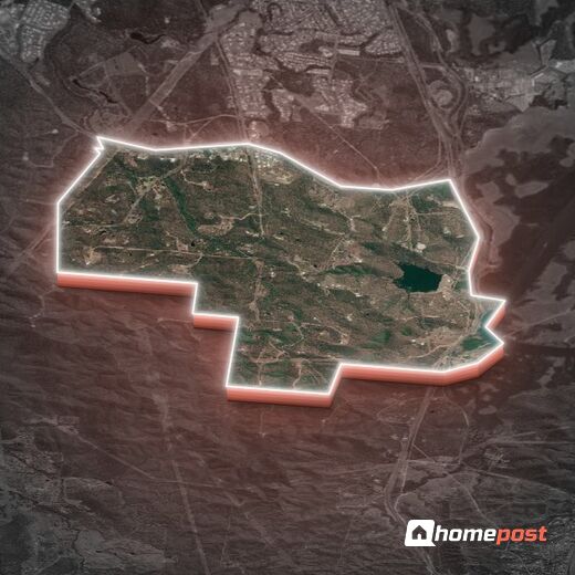
Oconnell Briefs
Interesting facts and insights that you need to know, at a glance.
Oconnell Suburb Report
A detailed analysis, evaluation and grading of the suburb, delivering a comprehensive overview of key characteristics and insights for both home buyers and investors.
View Report as:
Oconnell Map
Interactive map showing Oconnell locality, boundary, places and key points of interest in the surrounding area.
Oconnell Statistics
Exclusive, in-depth suburb statistics presented to inform your decisions with confidence. Compare suburbs side by side to uncover the insights that matter most.
Suburb Statistcs:
Comprehensive data analysis and market insights.
View Statistics As:
Compare Suburb:
Walkability Score
How accessible is this location on foot from suburb's centre? Scoring weighs nearby amenity by importance, proximity, and how it covers daily-life needs.
1.5 km
≈ 19 min walk
Walk Score
0
out of 100
Crunching the numbers on nearby amenities.
-
Amenities in range
-
Closest amenity
-
Diversity
-
Essentials nearby
Distance distribution
0
500m
1km
1.5km
2km+
Walk time:
< 5 min
5-10 min
10-15 min
15-20 min
20 min+
Oconnell Weather & Climate
Climate and historical weather data analysed from the nearest weather station.
--
Avg High
--
Avg Low
--
Annual Rain
--
Clear Days
Monthly Temperature Range
Mean daily maximum and minimum temperatures, with record extremes.
Outdoor Comfort Index
Combined score factoring temperature, rainfall, winds, and clear skies.
Wind & Clear Sky Days
Mean daily wind run (km) and average clear days per month.
Monthly Rainfall
Mean monthly rainfall in millimetres.
Seasonal Rainfall Distribution
Total rainfall by season.
Comprehensive Climate Data
Full monthly breakdown of all climate metrics.
Street directory
Streets in O'Connell
18 streets and 197 addresses. Open a street for every address on it, block sizes, sales and school catchments.
B
F
N
O
S
Surrounding Suburbs
Explore the neighbouring suburbs surrounding Oconnell.