
Flinders NSW

Suburb in New South Wales

Browse Listings

Flinders Introduction

Suburb Description
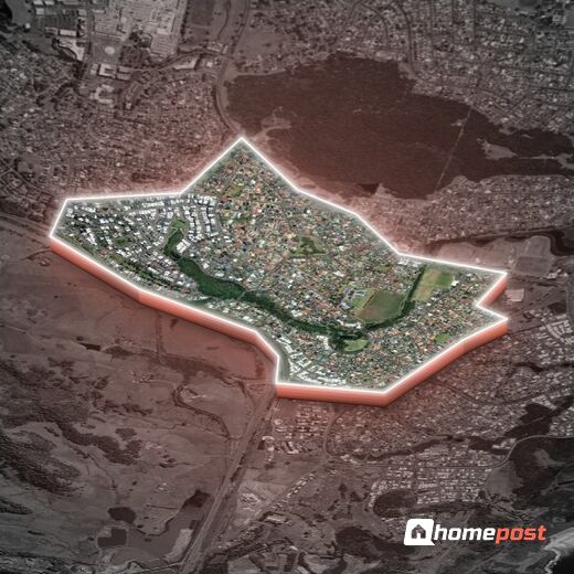
Flinders Briefs

Interesting facts and insights that you need to know, at a glance.

Flinders Suburb Report

A detailed analysis, evaluation and grading of the suburb, delivering a comprehensive overview of key characteristics and insights for both home buyers and investors.

View Report as:

Flinders Map

Interactive map showing Flinders locality, boundary, places and key points of interest in the surrounding area.

Flinders NSW

Flinders Statistics

Exclusive, in-depth suburb statistics presented to inform your decisions with confidence. Compare suburbs side by side to uncover the insights that matter most.

Suburb Statistcs:

Comprehensive data analysis and market insights.

View Statistics As:

Property Price History

Track the market value of family homes over the last 10 years.

Market Activity (Sales Volume)

Number of homes sold annually.

Education Quality & Safety Index

School Quality (ICSEA) vs Safety Index.

Community Stability

High Owner Occupier % and Family Household %.

Livability Scores

Walkability, Transit Access, and Green Space.

Crime Breakdown vs State Average

Key crime categories per 100K residents.

Local School ICSEA Scores

Individual school ICSEA scores vs national average (1000).

Age Distribution Profile

Population age bands.

Household Composition

Couples with kids, couples without, single parent, etc.

Health & Wellbeing Indicators

Key health metrics: obesity, smoking, etc.

Commute & Transport Mix

How residents get to work: car, train, bus, walk, WFH.

Environment & Natural Hazards

Air quality, tree canopy, parks coverage.

Income vs Cost of Living

Median household income compared to weekly expenses.

Childcare Availability & Quality

Centres count, NQS ratings, avg daily fees.

Economy & Income

Location Profile

Education

Comprehensive Suburb Statistics

Flinders Local Places & Amenities

Explore the essentials Flinders has to offer. Distances measured from suburb centre.

Discovering local amenities…

Walkability Score

How accessible is this location on foot from suburb's centre? Scoring weighs nearby amenity by importance, proximity, and how it covers daily-life needs.

1.5 km ≈ 19 min walk
Walk Score
0
out of 100
Calculating…

Crunching the numbers on nearby amenities.

—
Amenities in range
—
Closest amenity
—
Diversity
—
Essentials nearby
Distance distribution
0 500m 1km 1.5km 2km+
Walk time:
< 5 min
5–10 min
10–15 min
15–20 min
20 min+

Flinders Crime

Exclusive access to crime statistics from 2020 to 2024. All statistics are for year 2024.

Crime Summary

-

5-Year Crime Trend (2020 - 2024)

Crime Composition (2024)

Violent vs Property vs Other

Top 10 Offense Types (2024)

Victimization Probability

Violent Crime Chance 1 in X
Property Crime Chance 1 in X
State Average (Violent) 1 in 84

Flinders Weather & Climate

Climate and historical weather data analysed from the nearest weather station.

--
Avg High
--
Avg Low
--
Annual Rain
--
Clear Days

Monthly Temperature Range

Mean daily maximum and minimum temperatures, with record extremes.

Outdoor Comfort Index

Combined score factoring temperature, rainfall, winds, and clear skies.

Wind & Clear Sky Days

Mean daily wind run (km) and average clear days per month.

Monthly Rainfall

Mean monthly rainfall in millimetres.

Seasonal Rainfall Distribution

Total rainfall by season.

Comprehensive Climate Data

Full monthly breakdown of all climate metrics.

Success!